
Part 12
Administration
Workspace settings, region calibration, plans and your own account.
Settings is split in two: the workspace, which is shared with your colleagues, and your account, which is yours alone.
Workspace
| Page | What it holds |
|---|---|
| General | Workspace name and basic configuration. |
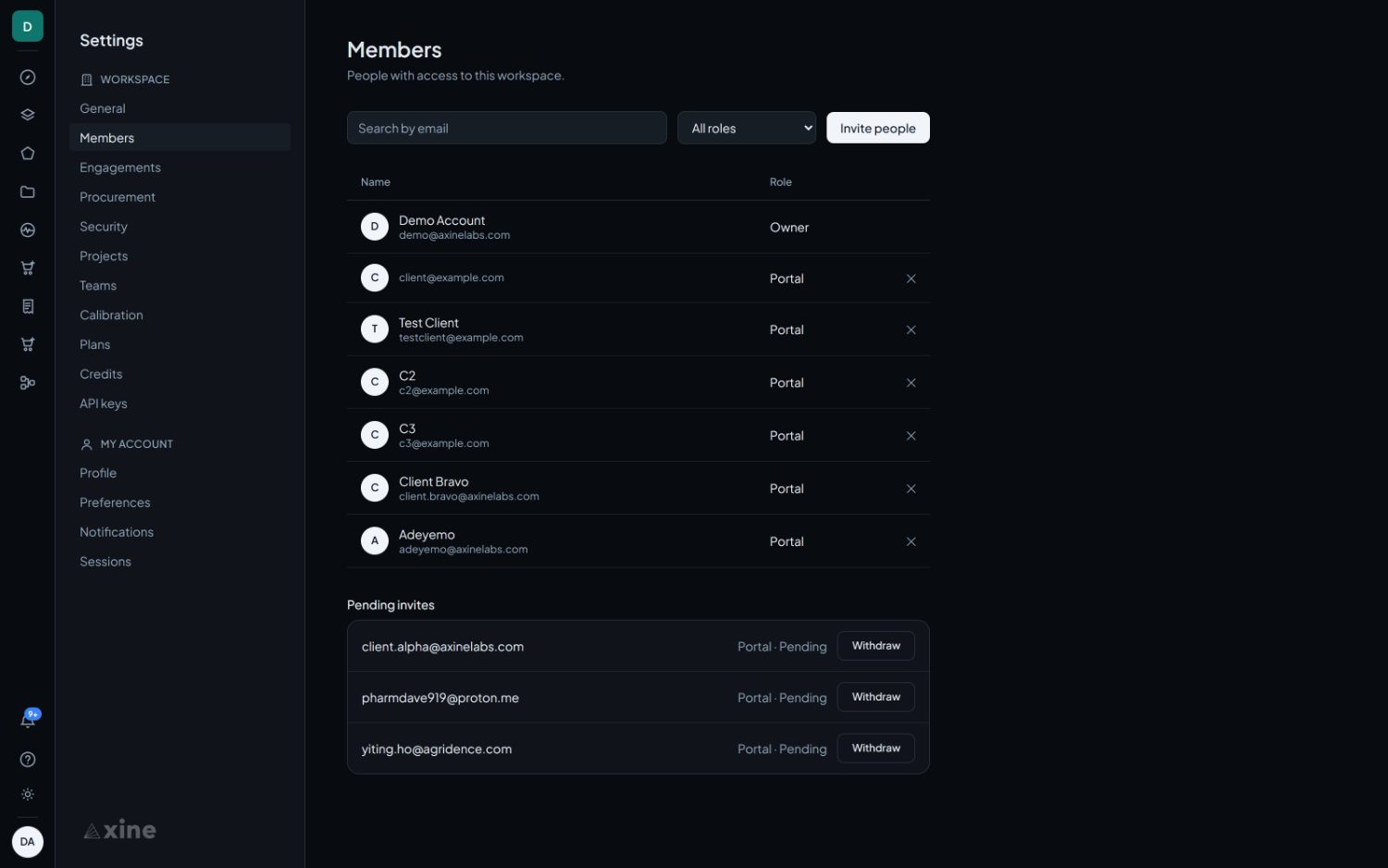
| Members | People with access, and what each may do. Invitations are links with an expiry, and revoking one stops it working immediately. |
| Engagements | See part eleven. |
| Procurement | Supplier accounts and archive search. Staff only. |
| Security | Access controls, including the email domains allowed to join without an invitation. |
| Projects | Folders for areas and results. |
| Teams | Groups of members, for scoping access. |
| Calibration | See below. |
| Plans | See below. |
| Credits | Balance, how to add credit, and the statement. |
| API keys | Programmatic access for this workspace, and the link to the API reference. |
Region calibration
Settings › Calibration
The prospectivity score is only quotable in regions the model has been calibrated for. This is where you calibrate one. It is available to workspace admins and owners.
On ground that has not been calibrated, the score carries no accuracy figure and should not be read as one. In pre-registered testing on belts the model had never seen, it did not merely fail to beat chance: it ranked sites in the wrong order more often than the right one. Do not read a high score on uncalibrated ground as evidence for a target, or a low one as evidence against. Calibration is the only route to a validated score anywhere in the product.
How to do it
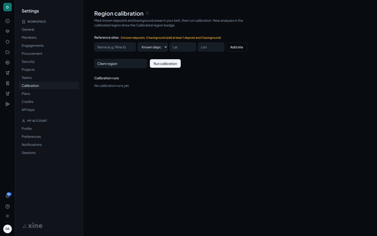
- Click the map to place a site, then give it a name and say whether it is known deposit or known barren. You can paste coordinates into the two boxes instead if you have them from a report or a drill log.
- Mark at least one known deposit and two known barren sites in the same belt. The counter beside Reference sites says whether you have enough yet.
- Label the region and select Run calibration.
A notification arrives when the run finishes, and the calibrated region is drawn on the map as a dashed circle so you can see how much ground it covers. Analyses inside it then carry the Calibrated region badge instead of Screening, and quote the model's held-out accuracy.
What the run actually does
It is a one-number recalibration rather than a retrain. The model's coefficients stay frozen throughout.
- For each site it takes a box of roughly 4.4 km a side around your point and searches for an EMIT acquisition covering it, preferring low cloud.
- It runs the same feature extraction every analysis uses, and computes that site's score before any regional adjustment.
- With your deposits labelled as prospective and your barren sites as not, it fits a single number: the offset that best separates the two.
- Your region becomes a circle centred on the average of your site positions, with a radius of 150 km or 1.5 times the spread of your sites, whichever is larger.
From then on, any area whose centre falls inside that circle is scored with your offset applied.
What to plan for
| Consideration | What to do about it |
|---|---|
| EMIT has to have flown over each site | EMIT acquires opportunistically, so a site can come back with no usable scene and be dropped from the run. At the three-site minimum a single miss fails the whole calibration, so mark more sites than the minimum where you can. |
| A run takes a while | Each distinct acquisition is several gigabytes. Start it and come back; a notification arrives when it finishes, and the run list shows which sites succeeded and which did not. |
| The region is generous | Three sites in one camp still calibrate a 150 km circle, and one offset then applies across all of it. Spreading your sites across the belt you actually work gives an offset that means something across it. |
| Barren sites carry real weight | Half the fit comes from them. Choose ground you are confident is barren and that resembles your prospective ground in everything except the mineralisation, rather than the nearest convenient blank area. |
| It affects one product | Calibration moves the prospectivity score and nothing else. Mineralogy layers, indices, change detection and monitoring are unaffected. |
Plans and credits
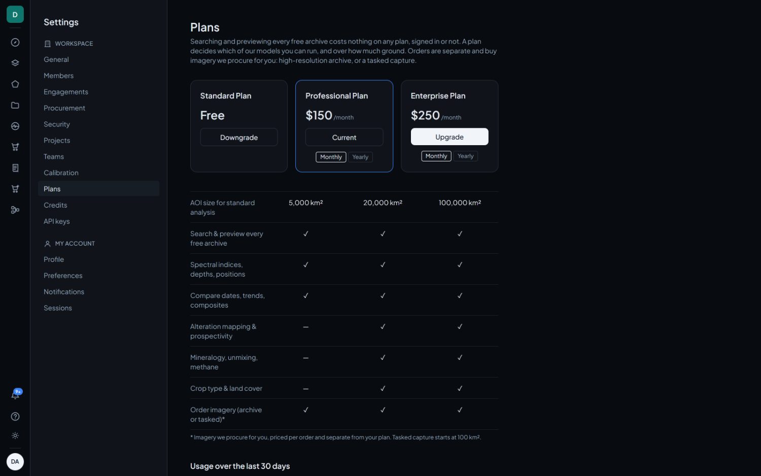
Searching and previewing every free archive costs nothing on any plan, signed in or not. A plan decides which of our models you can run and over how much ground. Orders are separate and buy imagery we procure for you.
| Capability | Standard | Professional | Enterprise |
|---|---|---|---|
| Area for a standard analysis | 5,000 km² | 20,000 km² | 100,000 km² |
| Search and preview every free archive | Yes | Yes | Yes |
| Spectral indices, depths, positions | Yes | Yes | Yes |
| Compare dates, trends, composites | Yes | Yes | Yes |
| Alteration mapping and prospectivity | No | Yes | Yes |
| Mineralogy, unmixing, methane | No | Yes | Yes |
| Crop type and land cover | No | Yes | Yes |
| Order imagery, archive or tasked | Yes | Yes | Yes |
Imagery we procure for you is priced per order and is separate from the plan. Usage over the last thirty days is shown under the table.

Your account
| Page | What it holds |
|---|---|
| Profile | Your name and email address. |
| Preferences | Personal display preferences. |
| Notifications | Which events reach you, and how. |
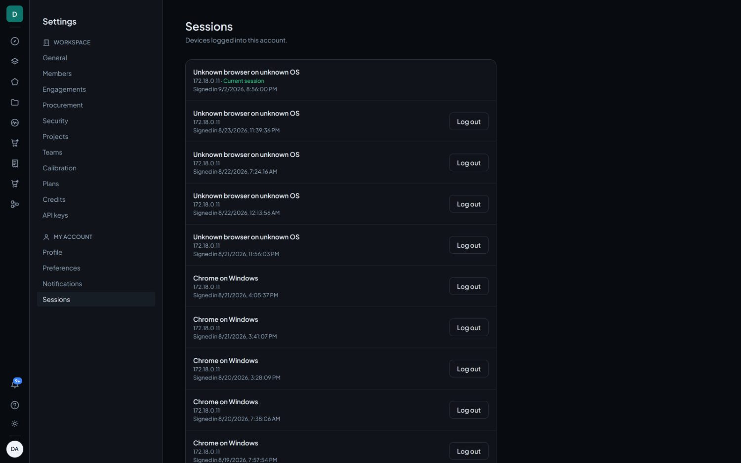
| Sessions | Every device signed into this account, with its location and last use. Any of them can be signed out from here. |