

Part 11
Sharing with a client
Publishing a result to a client portal, and what they see when they open it.
A workspace can have a client attached to it. What that client sees is a separate, simpler view called the portal, and it contains exactly what has been published to them and nothing else.
Publishing a result
any result › More › Publish to client
Available to admins and owners. The dialog asks for three things.
- Title, pre-filled with the result name.
- Description, which is what this result shows in the client's terms rather than in ours. It is the line they read first.
- Engagement, optionally, to file it under a piece of work they are paying for.
The licence gate runs at that moment. If the imagery underneath cannot be redistributed in this form, publishing is refused and the message quotes the licence's own terms, so a refusal always says why.
Engagements
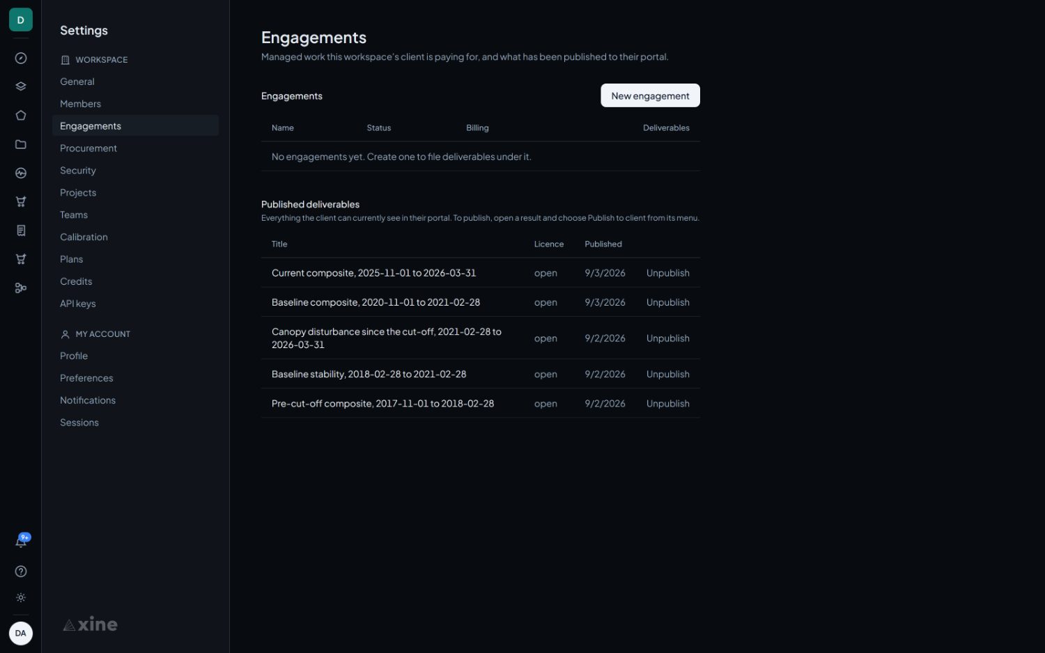
Settings › Engagements
The staff side. It lists the engagements the client is paying for and, beneath them, everything the client can currently see in their portal. Unpublishing removes a result from their portal immediately, and the confirmation is worded in the client's terms rather than in database terms.
What the client sees
Three screens, and no others.
| Screen | Contents |
|---|---|
| Deliverables | Everything published to them, newest first, as image-led tiles. Opening one gives a map viewer with no tools and no docks: the result, and the attribution lines beneath it. |
| Progress | Work still running, so a client can see that something is happening without being handed an unfinished result. |
| Monitoring | The monitors on their ground, with the last check, the latest reading, the previous reading, the acquisition date, the status and the area measured. |
The portal is curated by the published list and by nothing else. Anything not published does not exist as far as it is concerned.